
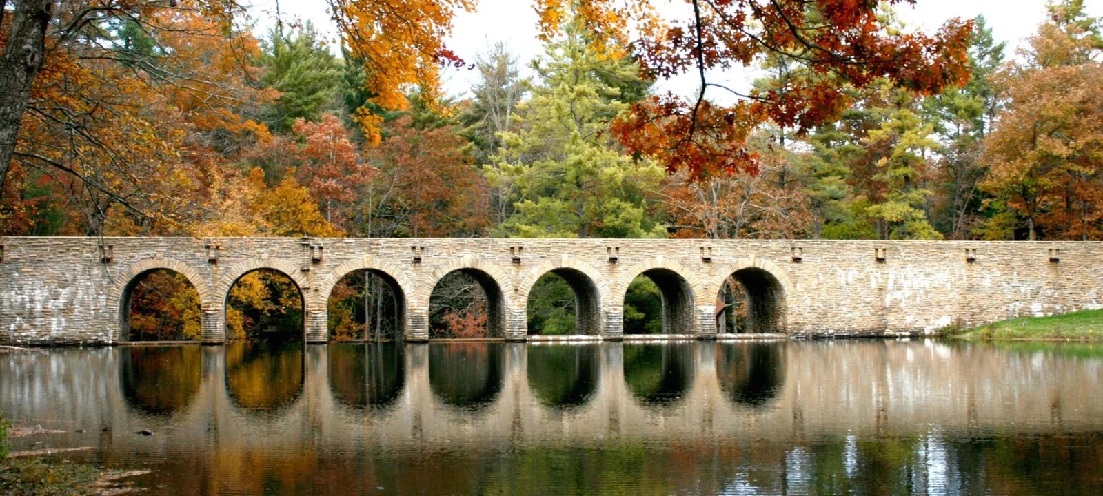
Walk The Cumberland Plateau
Hiking Trails & Waterfalls Near Crossville
Choose paved river walks, lake loops, wooded Fairfield Glade trails, waterfall terrain, and Cumberland Plateau overlooks—all within Cumberland County.
Choose By Terrain
Start With The Walk Your Group Wants
A short distance is not always an easy outing. Surface, elevation, exposure, water crossings, and the route back to the car matter as much as mileage. This guide separates gentler park walks from rugged waterfall and overlook terrain.
Featured map listings below meet the site standard of at least a 4.0 Google rating and 15 reviews. Ratings were checked October 19, 2026; route conditions and access should still be confirmed before leaving.

Start Here
Plan By Experience
Big Views & Waterfalls
Ozone Falls and Black Mountain reward careful footing with dramatic scenery.
Woodland Trail Variety
Fairfield Glade offers mapped routes from easy grassy roads to strenuous loops.
Easy-Access Planning
Begin with Obed River Park or ask the state park about current paved Byrd Lake access.
Featured Outdoor Outings
Trails, Parks And Natural Areas
Listings are ordered by Google rating, with review count breaking ties. Public parks and trailheads are included only when they meet the same minimum rating and review-count standard used elsewhere on the site.
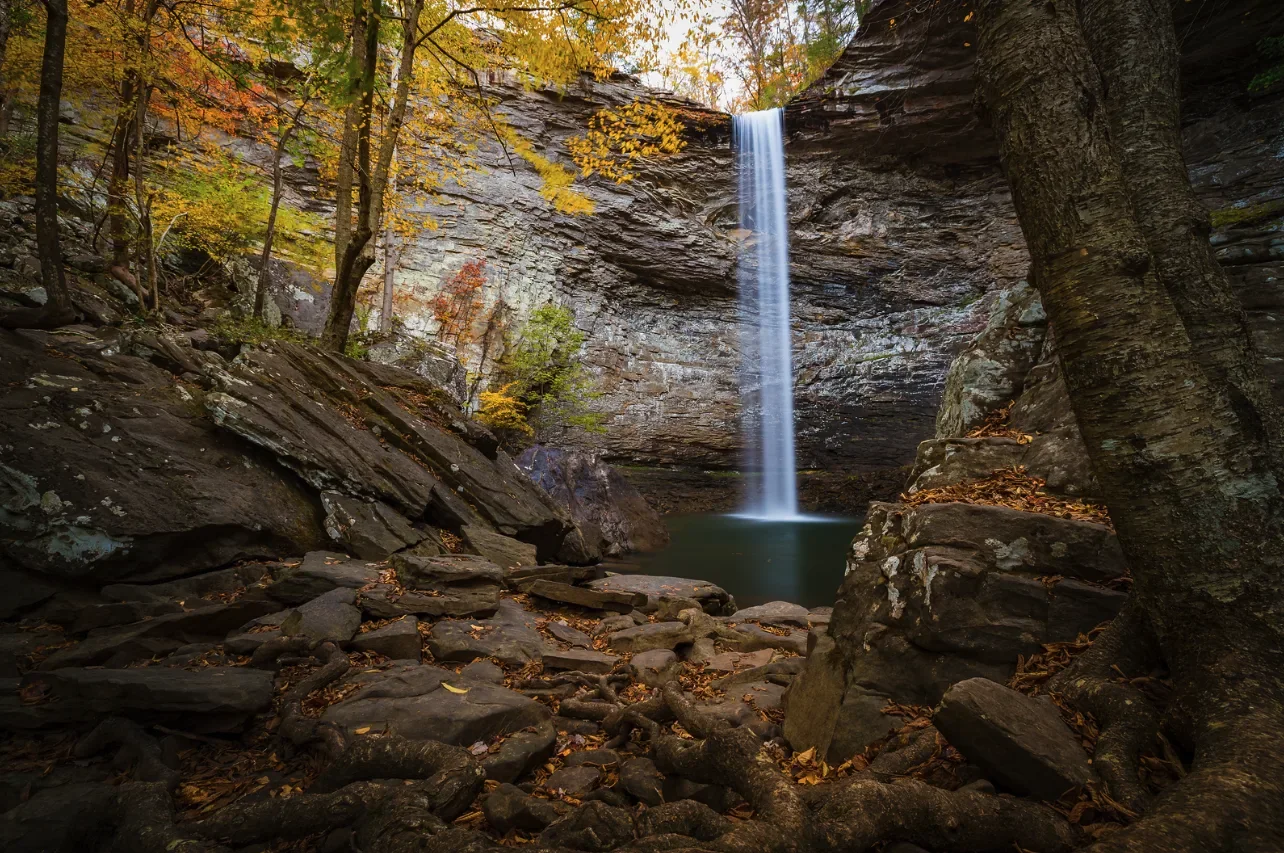
Ozone
Ozone Falls State Natural Area
A 110-foot waterfall and rugged three-quarter-mile gorge trail with steep, rocky terrain and an out-and-back return.
Google rating: 4.8 · 2,600 reviews

Fairfield Glade
Overlook Nature Trail
Choose the 0.9-mile South Loop, 1.9-mile North Loop, or combine them for a longer wooded hike with an overlook start.
Google rating: 4.8 · 166 reviews
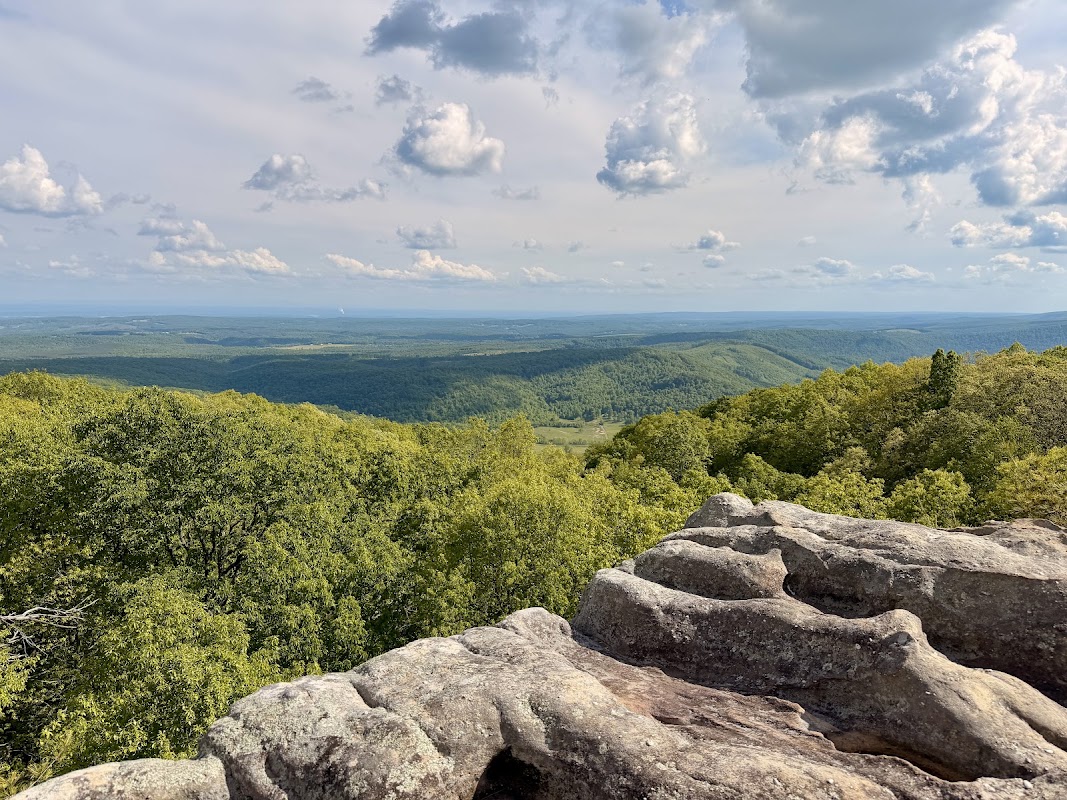
Black Mountain
Black Mountain Trail & Overlook
Rock outcrops, long plateau views, and connections to the Cumberland Trail make this a more demanding outing than a park stroll.
Google rating: 4.8 · 163 reviews
Crossville
Cumberland Mountain State Park
Start with Byrd Lake for water views, then compare the park’s named woodland routes and current trail map before extending the day.
Google rating: 4.7 · 4,209 reviews
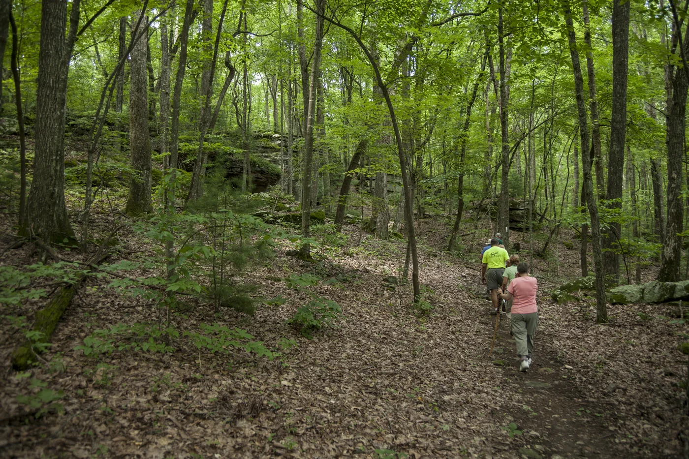
Fairfield Glade
Glastowbury Trail
A maintained Glade trail with mapped parking and route guidance; confirm the current description before setting out.
Google rating: 4.6 · 27 reviews
Crossville
Obed River Park
A wooded riverside park with an arboretum and paved trail used for walking, jogging, and biking.
Google rating: 4.4 · 465 reviews
More Qualifying Trailheads
Keep Exploring Fairfield Glade And The State Park
These additional mapped trailheads also meet the site’s rating and review-count standard. Use the official route descriptions—not the Google listing alone—to choose mileage, terrain, parking, and direction.
Hemlock Trail
4.8 · 45 reviews. Part of Fairfield Glade’s Red and Blue loops. Official trail details.
Pioneer Trail Trailhead
4.8 · 42 reviews. A state-park trailhead near the water; confirm the current route and conditions with park staff.
Stonehenge Trail
4.5 · 71 reviews. A 3-mile round trip with steady climbing from either end. Official trail details.
Maryetta Trail
4.5 · 19 reviews. A mapped trailhead on Sparta Highway; verify the route and parking before arrival.
Cascade Trail
Opened in 2025, this 1.8-mile moderate trail has rock features, large trees, creek sections, and a 0.5-mile optional loop. Official trail details.
Easy Glade Options
Amherst, St. George, Thornhill, and Moss Creek are labeled easy by Glade Trails. Compare surfaces and parking before choosing one.
Plan With Confidence
Frequently Asked Questions
Where can a dog be off leash in Crossville?
Use the dedicated Crossville Dog Park near Centennial Park’s Warner Complex entrance. The City says dogs must stay leashed until they are inside the fenced dog-park area, while the broader Centennial Park rules do not allow pets except service animals. For every other trail or park, check the managing agency’s current rule rather than assuming outdoor access includes pets.
Which local options may work better for lower-mobility visitors?
Centennial Park is the clearest official starting point: the City documents a paved, lighted walking trail and a fully accessible playground. Garrison Park has sidewalks, nearby parking and restrooms in a compact setting. Conditions and the route from the car can change, so confirm the exact feature you need with Crossville Leisure Services before the visit.
Where should we start with a paved walk?
Obed River Park is described as having a paved walking trail. Cumberland Mountain State Park also describes paved, accessible Byrd Lake access; ask park staff which exact section currently fits your group.
Does a short trail mean an easy trail?
No. Ozone Falls is short but steep and rocky. Compare surface, elevation, route layout, water crossings, and the return climb as well as mileage.
Which outing has the most trail choices in one area?
Fairfield Glade has the broadest mapped selection, from easy grassy-road walks to strenuous interconnected loops. Download the exact route map before leaving.
What should we check after rain?
Expect mud, slick rock, fuller creek crossings, and changing waterfall conditions. Confirm closures or advisories and choose footwear suited to the surface.
Help Keep This Guide Accurate
Trail conditions, parking, closures, and official route descriptions can change. If you manage a featured destination or notice something that needs attention, send a correction below. Updated October 2026.